When we talk about increased efficiency in the geospatial industry, one topic is paramount: outsourcing digital mapping services in GIS. This innovative approach not only offers cost-saving benefits but also provides access to specialized skills and cutting-edge technology.
To start, you might be asking yourself, “What is digital mapping?” Well, digital mapping services are all about creating virtual maps using data and digital images. It’s a fascinating process and one that’s revolutionizing numerous sectors, from urban planning to logistics, environmental science, and more. But let’s not get sidetracked! Moving on.
Table of Contents
1. Increased Efficiency and Focus

When you work with professional digital mapping companies, you’re gaining access to a specialized skill set. Not only does this mean quality work, but it also allows your team to focus on what they do best.
Imagine, for example, a city planning department that’s swamped with everyday tasks. When they outsource their GIS needs to a digital mapping company, they free up their time to focus on planning and implementation, leaving the complex task of digital mapping to the experts.
2. Cost-Effective Solutions
Now, let’s talk dollars and cents, because who doesn’t love saving a bit of coin? When you opt for outsourcing:
- You save on training and equipment costs
- You can tap into scalable services, paying for what you need when you need it
- You’re free from the overheads of maintaining an in-house team
Remember, a penny saved is a penny earned!
3. Cutting-Edge Technology


The field of GIS is always evolving, with new digital projection mapping software and technologies being introduced. Staying up-to-date can be a real challenge. But guess who’s always in the know? You got it – Mappitall digital mapping consultants.
4. Unrivaled Expertise
With specialization comes expertise. Digital mapping companies have their fingers on the pulse of the industry, allowing them to provide superior digital mapping solutions.
Remember the city planning department from earlier? They reported that the detailed and accurate digital maps provided by their outsourced team far surpassed what they could produce in-house. Just a little food for thought!
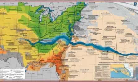
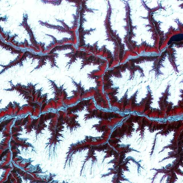
What Industries Use GIS?
Geographic Information Systems (GIS) are used across a wide range of industries due to their ability to analyze and visualize spatial data. Here are some key industries that utilize GIS:
- Urban Planning and Real Estate: Planners use GIS and planimetric mapping services for land-use planning, zoning, urban design, and real estate feasibility studies. It can help visualize population growth, urban development, and assess the environmental impact of certain developments.
- Environmental Services: GIS is essential for conservation planning, wildlife management, and environmental impact assessment. It’s used to map and monitor biodiversity, climate change, and environmental disasters.
- Government: Local and national governments use GIS for public policy decision-making, demographic analysis, crime mapping, infrastructure management, and emergency services planning.
- Transportation: GIS is used for route optimization, traffic analysis, logistics management, and infrastructure planning in both public transportation and logistics companies.
- Agriculture: Farmers and agricultural organizations use GIS and photogrammetric mapping services for precision farming, yield monitoring, soil analysis, and crop management.
- Healthcare: GIS is used in public health for disease surveillance, epidemic tracking, and planning health services.
- Telecommunications: Telecom companies use GIS for network design, planning, and management, as well as for customer demographic analysis.
- Oil and Gas: In the energy sector, GIS is used for resource exploration, pipeline management, site selection for renewable energy, and managing the environmental impact of energy production.
- Retail: Businesses use GIS for market research, demographic analysis, site selection, and supply chain management.
- Education and Research: GIS is widely used in academia for research in various fields including geography, archeology, geology, and environmental science.
These are just a few examples. The flexibility of GIS means it can be adapted for almost any industry that deals with location-based data.
FAQs
What is the main advantage of outsourcing digital mapping services?
Outsourcing these services leads to increased efficiency, cost-saving, and access to specialized skills and cutting-edge technology.
How can digital mapping companies contribute to my project?
They offer expert knowledge, up-to-date digital projection mapping software, and a focus on quality that can improve the accuracy and detail of your maps.
Is outsourcing digital mapping services a cost-effective solution?
Yes, it can be. You save on training, equipment, and overhead costs associated with maintaining an in-house team.
Video: What is GIS? An Introduction to Geographical Information Systems

Final Thoughts on Outsourcing Digital Mapping Services
To wrap it up, outsourcing digital mapping services in GIS is an astute move. It empowers organizations to save costs, streamline processes, and stay abreast of the latest in digital mapping technology. Consider outsourcing for your next geospatial project – it might just be the game-changer you’ve been looking for.