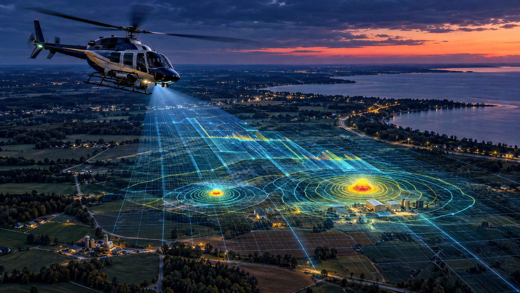
ANN ARBOR, Mich. — A new radiation-detection method developed with University of Michigan researchers identified and located radioactive sources during six-second helicopter passes, a potential advance for emergency responders facing a nuclear accident or contaminated site.
The method combines airborne gamma-ray measurements, detailed physics simulations, and Bayesian statistical analysis. Researchers reported their findings Oct. 26 in the peer-reviewed journal Nature Communications.
During tests in Switzerland, the system identified individual and mixed radioactive sources, located them within about 2 meters, and estimated their activity within 2 percentage points of reference measurements.
Why Airborne Radiation Is Difficult to Measure
Radioactive materials release gamma rays at characteristic energy levels, creating signatures that can help investigators distinguish one material from another.
Those signatures become blurred as gamma rays travel through the atmosphere and pass through an aircraft before reaching a detector. An airborne detector also collects relatively few signals during a fast, single-pass flight.
Conventional analysis compares those measurements with simulated radiation patterns. However, producing sufficiently detailed simulations for changing altitudes, weather conditions and aircraft positions can take hours or days.
The research team divided the simulation into two components: how radiation scatters through the atmosphere and how it interacts with the helicopter.
The team could then calculate aircraft responses in advance, while updating atmospheric factors such as air pressure, temperature, and humidity for a particular flight. Researchers said the change reduced some calculations from days to microseconds.
The faster calculations let the Bayesian system compare thousands of possible spectral patterns and assign probabilities to a source’s identity, location, and strength.
Michigan Maintains Nuclear Emergency Plans
The Michigan Department of Environment, Great Lakes and Energy maintains the state’s Nuclear Facilities Emergency Management Plan and handles the radiological portion of Michigan’s response to accidents at commercial nuclear facilities.
Overall emergency coordination rests with the Michigan State Police. State radiological staff also work with plant operators and the U.S. Nuclear Regulatory Commission.
The U-M method has not been added to that state plan, and the research team did not test it during a Michigan emergency.
However, rapid airborne mapping could eventually supplement existing monitoring after a reactor accident, transportation incident, deliberate release, or discovery of contaminated soil. It could also support routine surveys around nuclear facilities and environmental-cleanup sites.
Better maps could help responders determine where contamination is concentrated and where additional ground sampling is needed. That information could affect recommendations to evacuate, remain indoors or take other protective action.
Controlled Tests Leave Questions
Researchers tested the system with a detector installed in a Swiss military Super Puma helicopter flying about 30 meters above known ground sources.
That provided a controlled way to compare the system’s estimates with independently measured values. It did not reproduce every complication likely during an actual emergency.
Buildings, uneven terrain, vegetation, smoke, rapidly changing weather and an unfamiliar aircraft could affect performance. The method also depends on accurate models of the detector, aircraft and surrounding environment.
The test sources were known and deliberately positioned. In a real incident, responders might face several unknown materials distributed irregularly across a much larger area.
The study therefore demonstrates what the analytical approach can accomplish under controlled field conditions. It does not establish that emergency agencies can immediately obtain the same precision during a large-scale accident.
Still, lead author David Breitenmoser, a U-M postdoctoral research fellow, said the combination of speed and detail could make airborne measurements more useful for emergency response and routine monitoring.
Primary sources: Nature Communications study | University of Michigan research summary | Michigan radiological emergency program