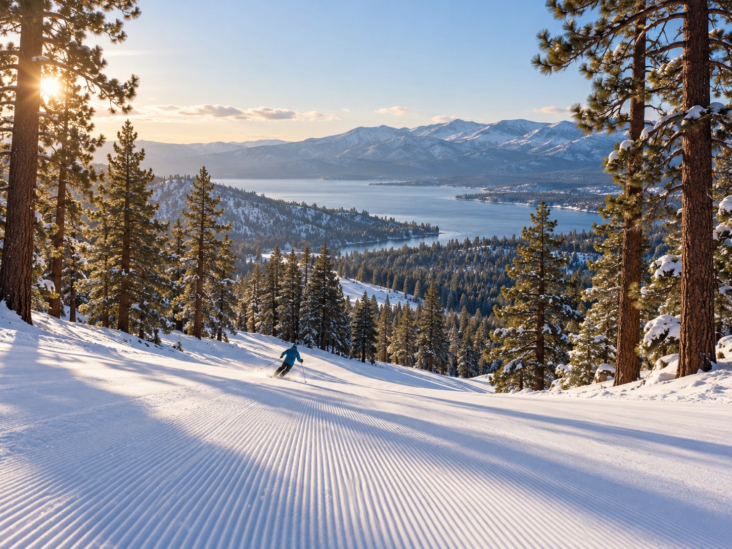
Check the view.
Check the weather.
Make your next move.
From a beach morning to a mountain drive, bring the right information together before you head out.
Check current conditions before your next outing with destination webcams, official weather forecasts, radar and road reports. Start with one of the places below, then use its planning dashboard to open the resources that matter for your trip.
TwoVerbs brings the sources together; each outside provider controls its information. Forecasts describe expected weather, webcams show a limited view, and road reports cover their own networks. Compare them rather than relying on a single picture. The destination forecast points below are starting locations, not complete coverage of a county, park or coastline.
Where are you headed?
Ten destinations, with direct paths to camera guides, official forecasts and road information.
Chicago
Skyline, river and Lake Michigan views. Check beach and marine information separately.
Big Bear Lake
Compare resort views, then check chain controls and closures for your entire route.
Asheville
Downtown conditions can differ from the higher Blue Ridge Parkway.
Door County
Waterfront views are a starting point; confirm ferry schedules and lake conditions.
Sheboygan County
Preview the Lake Michigan shore and Road America; check local notices before an outing.
Bar Harbor & Acadia
Use Bar Harbor as a starting forecast point; check Acadia’s own road and trail notices.
Florida Keys · Key West
The forecast point is Key West; conditions vary along the island chain.
Toledo
Look at northwest Ohio views, then check road restrictions along your route.
Venice
Coastal pictures cannot establish surf, swimming safety or water quality.
Port Charlotte
Check Charlotte County-area views, forecast details and the roads you plan to use.
No destinations match yet. Try a broader place name or clear the filters.
Looking farther afield? Explore the full live webcam directory. Directory and resource links reviewed October 30, 2026; that date is not a weather update time.
One place. The checks that matter.
Forecast snapshot & active alerts
Source: National Weather Service. Load the next three forecast periods and alerts for the selected point. These are forecasts, not observed temperatures.
No weather data loaded yet.
Explore the weather map
Move around the selected destination on Windy’s interactive forecast wind map. Check its timeline and legend; the default layer is model forecast wind, not radar or measured wind at a camera.
Choose Load forecast wind map to display the map here. Maps load only when requested.
Map source: Windy · default model: ECMWF · surface wind in mph. Use NWS radar for a precipitation view. Weather services and embedded maps may be unavailable at times.
What does your outing need?
Beach & coast
Look beyond blue skies: check coastal alerts, beach notices and the forecast.
Find coastal places →City outing
Compare skyline views with forecasts and road restrictions.
Explore city stops →Mountain & park
Check elevation changes, park notices and the entire drive.
Head for the hills →Lake & waterfront
Check marine information and ferry schedules alongside harbor views.
Find a waterfront →Your before-you-go checklist
Tick off the checks for your outing. This list helps organize your review; completing it does not establish that travel is safe.
Three views of the same trip
A webcam view
A specific angle at the player’s displayed time. Darkness, glare, distance and delays can hide details.
Find camera guides →A weather forecast
Expected conditions for a location and time. It may differ from a station observation or the conditions at higher elevations.
Explore Weather Watch →A road report
Restrictions and incidents on a provider’s network. Check all the roads you will use and follow posted directions.
Choose a road source →Go to the source for the details
Use the direct links in each destination card when you need a fuller view or an embedded tool cannot load. For specific outings, these additional sources can help:
- Acadia National Park conditions — park road, trail and facility information.
- Blue Ridge Parkway road status — check the sections along your planned drive.
- Caltrans chain-control guidance — read alongside current QuickMap restrictions.
- Southern Lake Michigan marine information and Chicago-area beach hazards.
- Washington Island Ferry Line — confirm schedules and operator notices for Door County.
Forecast issue times, alert expiry times, camera timestamps and map timelines describe different things. Check each source’s time and location. If the dashboard says a request failed, it has no verified current data for that request.
Current conditions: your questions answered
Does this page show current weather or a forecast?
The optional NWS snapshot shows forecast periods, not a thermometer reading at a camera. Its issue time and period times are displayed when data loads. For the latest station observations and official warnings, open the National Weather Service forecast page for your destination.
How current are the webcams and maps?
Camera operators control their streams, which may be delayed, offline or recorded. Check the live indicator and timestamp in each player. The Windy map opens on a forecast wind layer; its timeline is separate from the camera timestamp and the NWS forecast issue time.
Does an empty alerts list mean it is safe to travel?
No. It only means the NWS request returned no active alerts for the selected point at retrieval time. Conditions can change, requests can fail and hazards may exist outside that point. Review official alerts, road reports and local guidance for the full route.
Why is the forecast or map unavailable?
Third-party services, browser settings and network interruptions can prevent a tool from loading. The direct forecast, radar, road-report and webcam-guide links remain available. Use those source pages if an embedded tool cannot load.
Can I use one forecast for a whole county or island chain?
Use it as a starting point. Each destination has a representative forecast point, shown by its coordinates. Conditions can differ along the Florida Keys, around a lake or between a city and a mountain pass. Check additional locations along your route.
Do you need my location to use this page?
No. Choose a listed destination; this page does not request device location. Forecasts and maps load for the selected destination only when you press their load buttons. The trip checklist resets when the page is reloaded.