
Follow the
changing sky.
Explore weather maps, check official alerts and see how the sky looks through destination webcams.
“Weather Watch” is this page’s name; it does not announce an official weather watch.
Weather Watch brings weather maps and official information together so you can follow changing conditions. Choose a destination, explore a map layer, then check National Weather Service alerts for that location. The map provider and the NWS use separate products and update schedules; their timestamps matter as much as the picture.
Your weather-map explorer
Choose a place and a layer. Load one interactive map at a time, then use its own timeline and legend.
A different layer.
A different perspective.
Your map opens here when you select Load selected map. No location permission is needed.
No map loaded yet.
Map provider: Windy. Wind, temperature and cloud layers use the ECMWF forecast model by default. Radar imagery has a separate timeline and coverage. A map frame loading does not establish that its data is current.
National Weather Service alerts
Alerts for the destination selected in the map explorer.
No alert request has been made.
The results cover a representative point, not your whole route. An empty response is not a safety clearance. A failed request is shown as unavailable, never as “no alerts.” Follow the instructions in official messages and local guidance.
Weather resources by topic
Rain & thunderstorms
Start with recent radar imagery, then check official alerts and the broader storm outlook.
NWS rainfall-outlook resources →Coastal & tropical weather
Pair coastal webcam views with official tropical information and marine forecasts.
Snow & mountain weather
Explore forecast temperatures and wind. Check winter alerts and road restrictions before heading to higher elevations.
Open the trip-planning dashboard →Great Lakes weather
Harbor views are only one angle. Compare the wind map with official marine and beach information.
Chicago-area beach hazards →Read the map, not just the colors
Radar imagery versus a forecast
Radar shows recent precipitation information from the provider’s radar product. A model forecast estimates what may happen later. Check the selected layer and time before drawing conclusions; a future-looking animation may be a forecast product rather than a radar observation.
Forecast wind versus measured wind
The Windy wind layer used here is a model forecast of surface wind. It is not an instrument reading at a webcam, beach or ski lift. Use the legend and timeline, and check local observations or marine products when the exact location matters.
Why different weather models disagree
Models use different calculations, resolutions and starting information. Their predictions can diverge, particularly farther ahead or in complex terrain. Use the official local forecast for context rather than treating one colorful map as a guarantee.
Watches, warnings and advisories
These are official product names, with criteria that depend on the hazard. For severe thunderstorms, a watch signals that the conditions are possible, while a warning means severe weather has been reported or indicated by radar. Read the specific message and instructions. NWS guide to severe-weather alerts.
Update time, valid time and time zones
An issue time tells you when a product was prepared. A valid time tells you when it applies. Alert-message expiry and the event’s end time can differ. The alerts panel labels times with your device’s time zone; the embedded map uses its own timeline display. Check both.
Why a blank map does not mean clear weather
Missing coverage, service interruptions, browser restrictions or a layer still loading can produce a blank display. Use the direct provider links when needed. This page does not interpret a failed map or alert request as an absence of weather hazards.
See the weather through a webcam
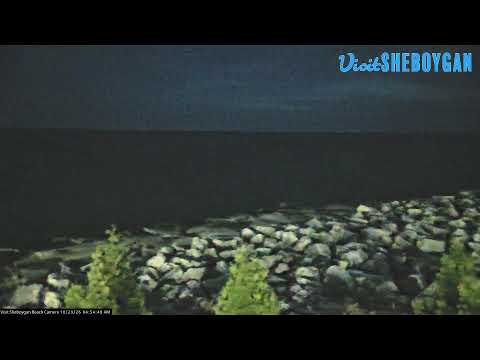
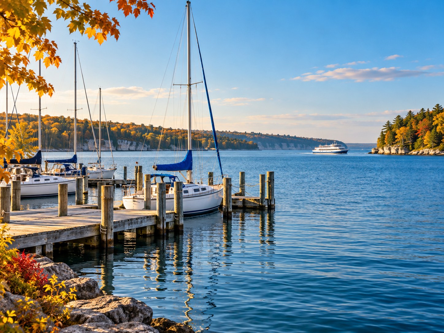
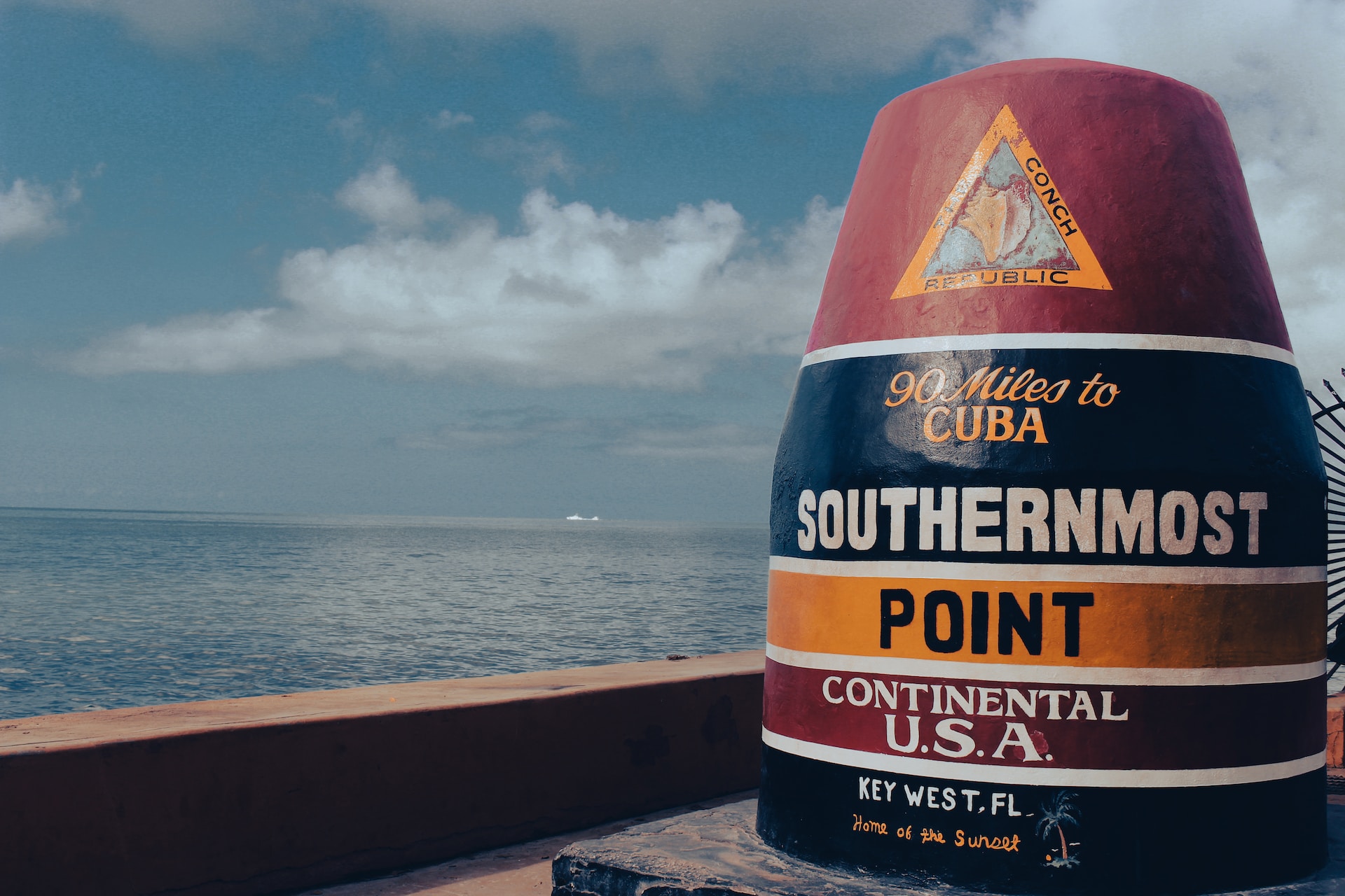
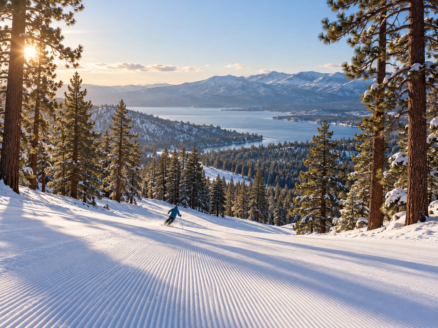
Open a guide for its camera sources and review notes. These destination pictures are illustrations, photographs or saved previews—not current conditions. Check each player’s timestamp and live indicator.


Destination forecasts & camera guides
The original five destinations remain here, alongside newer guides. Choose the forecast link for official weather information or the guide for camera sources.
- Chicago · NWS forecast
- Big Bear Lake · NWS forecast
- Asheville · NWS forecast
- Door County · NWS forecast
- Sheboygan County · NWS forecast
- Bar Harbor & Acadia · NWS forecast
- Florida Keys · Key West · NWS forecast
- Toledo · NWS forecast
- Venice · NWS forecast
- Port Charlotte · NWS forecast
Directory and resource links reviewed October 30, 2026. This editorial review date is separate from live data issue and retrieval times.
Weather Watch questions
Is Weather Watch an official weather watch?
No. Weather Watch is the name of this TwoVerbs page. Official watches, warnings and advisories come from the issuing agency. Check the NWS alert panel and read the full official message for your location.
Which map layer should I start with?
Choose Radar to explore the provider’s recent precipitation imagery, Wind for forecast surface wind, Temperature for forecast air temperature, or Clouds for forecast cloud cover. Check each layer’s legend and timeline. The forecast layers default to ECMWF; they are not weather-station observations.
How current is the alert panel?
The panel requests NWS alerts when you press Check selected location or Refresh alerts. It shows the retrieval time, plus the issue, message-expiry and event-end times supplied for each message. It does not refresh automatically. Refresh the panel when checking again.
What does no active alerts returned mean?
It means that the NWS request returned an empty active-alert list for the selected point at the displayed retrieval time. It does not establish that the weather is safe or cover your entire route. A request failure is displayed separately as unavailable.
Can I use this page without loading a map?
Yes. Official radar, local forecast and destination-guide links work without loading an embedded map. NWS also provides a standard lower-bandwidth radar option linked above. Interactive maps and the alert panel need JavaScript.
Are the destination images live weather pictures?
No. They are labeled illustrations, destination photographs or saved camera previews. Open a webcam guide for camera footage, then check its timestamp and viewing mode. Outside providers may pause a stream or show recorded material.