by

Check city skies, mountain visibility and travel conditions before heading to Asheville.
Webcams in Asheville offer a quick look at the city and its mountain backdrop before a downtown walk, a scenic drive or an early start. This guide brings together official camera sources, a regional weather map, road information and current news so you can plan the next step in one place.
Start with the view closest to your destination. A downtown Asheville webcam can help you judge visible sky conditions in town, while a higher mountain camera offers a different perspective. Neither replaces a forecast or an official road-status update.
Sources reviewed Oct. 29, 2026. Three camera sources below are in Asheville; Pisgah Inn is a nearby mountain option outside the city. EarthCam’s player displayed a camera image during review; we did not independently confirm the moving live footage. We verified the AshevilleWX source pages, and Pisgah Inn’s player reported offline. Third-party availability can change. Supporting artwork is clearly labeled and is not live footage.
In this guide: Current weather · College Street · Asheville Sunrise · Grove Park Inn · Nearby Pisgah Inn · Traffic and Parkway status · Weather radar · Current news · Plan your visit · Webcam questions
| Camera source | Location | Useful for | Review note |
|---|---|---|---|
| AshevilleWX College Street | Downtown Asheville | West-facing rooftop view | Official source link; stream not for broadcast |
| AshevilleWX Sunrise | Asheville; exact siting not stated on source page | Early light and sky conditions | Official source link; playback not independently confirmed |
| EarthCam / Omni Grove Park Inn | Asheville | City and mountain panorama | Player displayed an image; use official player |
| Pisgah Inn | Blue Ridge Parkway, outside Asheville | High-elevation mountain visibility | Player reported offline at review |
Current Asheville Weather and Mountain Conditions
The map opens at Asheville, about 35.59° N, 82.55° W, with regional zoom and U.S. units. It shows the ECMWF surface forecast wind layer. Check the timeline: this is modeled wind for the selected time, rather than weather radar or a measured wind reading at a camera.
For Asheville weather details, use the National Weather Service Asheville forecast and NWS Greenville-Spartanburg alerts. Also check a forecast near your actual mountain destination. Elevation, cloud cover, and wind can make a ridge feel very different from downtown.
Webcams in Asheville: College Street’s West-Facing View
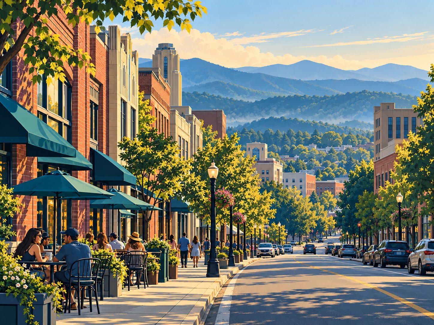
AshevilleWX hosts the Grimes Teich Anderson LLP camera on a College Street rooftop, looking west. Its downtown setting makes it a useful starting point for checking the sky over the city before a walk or dinner reservation.
The operator marks the stream “not for broadcast,” so watch through the official AshevilleWX College Street camera page. Check the player’s timestamp and current status after opening it. This view cannot establish parking availability or conditions on every downtown street.
AshevilleWX Sunrise Camera
The Asheville Sunrise Camera provides another official AshevilleWX source for a morning check. The source labels it for Asheville but doesn’t provide a precise neighborhood location in the information reviewed here. Avoid treating it as a street-level report for a specific address.
Open the official Asheville Sunrise Camera page for its player. As with the College Street source, the operator’s broadcast restriction means it is linked here. For Asheville live cameras around dawn, allow for darkness and fog, then confirm that the timestamp is advancing.
EarthCam at the Omni Grove Park Inn
EarthCam partners with the Omni Grove Park Inn for its Asheville camera. The official player displayed the city, wooded foreground and mountain backdrop during review. This is the Grove Park Inn source, not a Biltmore Estate camera.
Watch the official EarthCam Asheville player. It offers a useful broad view for visibility and changing light, though it doesn’t show every downtown block. Use the live setting and check the timestamp; archive and panorama modes are different views. We didn’t verify a supported third-party embed, so the camera opens in EarthCam.
Nearby Mountain View: Pisgah Inn
Outside Asheville — offline during review. Pisgah Inn sits along the Blue Ridge Parkway between mileposts 408 and 409, at about 5,000 feet. Its mountain setting offers a different context from the city cameras. The operator’s embedded player reported the camera offline on Oct. 29, 2026; it may remain unavailable.
Source: Pisgah Inn live camera. If the player remains offline, use the city sources above and check the official forecast. Among Blue Ridge Mountain webcams, a high-elevation view can help you check clouds and visibility, but it cannot confirm that a route is open.
Before traveling, check Pisgah Inn’s operating season and its current access directions. A working camera does not mean the inn, restaurant or every approach road is open.
Asheville Traffic Cameras and Blue Ridge Parkway Status
Use DriveNC, the North Carolina Department of Transportation map, for traffic cameras, incidents, construction and closures. Search for Asheville, turn on the relevant map layers and inspect your intended route. Camera coverage is selective, so a clear image elsewhere doesn’t reflect conditions on your road.
For a scenic drive, check the National Park Service Blue Ridge Parkway road-status page before you leave and again if your plans change. Weather, emergency work and construction can close sections. Follow official detours rather than assuming that an open city road connects to an open Parkway segment.
A separate downtown provider, Asheville Live Cam, said its streams were offline during building renovations at review. Its directional feeds are not listed as available cameras here.
Asheville Weather Radar
Open National Weather Service radar for precipitation coverage around western North Carolina. Check the image time and use the animation to see how precipitation is moving. Pair radar with the official forecast and alerts; a camera’s small field of view can miss approaching rain.
Current Asheville News

These are Google News search matches for “Asheville North Carolina,” with publication dates. They update through the feed and may include regional or national coverage. Open the original report and check the date before using it to plan travel.
Plan Your Asheville Visit
Choose a city activity and a mountain alternative before setting out. If low clouds hide the ridges, a downtown meal or indoor stop may suit the day better. If you are headed into higher terrain, pack for the forecast at that elevation and keep enough time to adjust your route.
For another Asheville itinerary idea, read TwoVerbs’ Biltmore Estate feature. Confirm admission, reservations and opening hours directly with the attraction before going. Webcams in Asheville are a useful first check, followed by the forecast, road status and the destination’s own updates.
Questions About Webcams in Asheville

Which webcams in Asheville are included?
This guide links to AshevilleWX’s College Street and Sunrise cameras and EarthCam’s Omni Grove Park Inn camera. Pisgah Inn is a separate mountain view outside Asheville; its player reported the camera offline during our Oct. 29, 2026, check.
Why do some cameras open on another website?
AshevilleWX marks its streams not for broadcast, so we link to its own players. EarthCam also opens on its official page because we did not verify a supported embed option. The illustrations here are not live screenshots.
What happened to the Asheville Live Cam downtown feeds?
Asheville Live Cam’s website said its streams were offline while its building was being renovated when we reviewed it. Those feeds are not counted as available views in this guide. Check the operator for a return date.
What time zone do Asheville webcams use?
Asheville is in the Eastern time zone, observing Eastern Standard Time in winter and Eastern Daylight Time in summer. Check the player’s own timestamp and any live or archive label; some players may display another time setting.
Does a clear city view mean mountain roads are open?
No. Conditions can change with elevation, and a camera shows only its immediate view. Check the National Park Service’s Blue Ridge Parkway road status, DriveNC and a forecast for the elevation and destination you plan to visit.
Why might a webcam be dark, frozen or unavailable?
Nighttime, fog, maintenance, connection problems or player restrictions can affect a feed. Check its timestamp, reload once and try the official source page. A blank camera alone does not establish a power outage or a road closure.